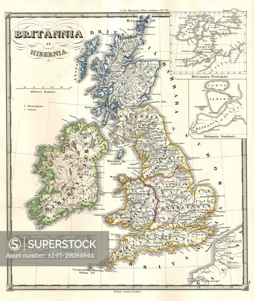
1855 Spruneri Map of the British Isles, Britannia Hibernia, in Ancient Times
SuperStock offers millions of photos, videos, and stock assets to creatives around the world. This image of Explore Historical Cartography: Antique Map of Great Britain and Ireland Showing Detailed Geography and Vintage Charm by Piemags/PL Photography Limited is available for licensing today.
Looking for a license?
Click here, and we'll help you find it! Questions? Just ask!
Click here, and we'll help you find it! Questions? Just ask!
DETAILS
Image Number: 6145-29094941Royalty FreeCredit Line:Piemags/PL Photography Limited/SuperStockCollection: