1788 Schraembl Map of the Northwest Passage (Alaska, Pacific Northwest)
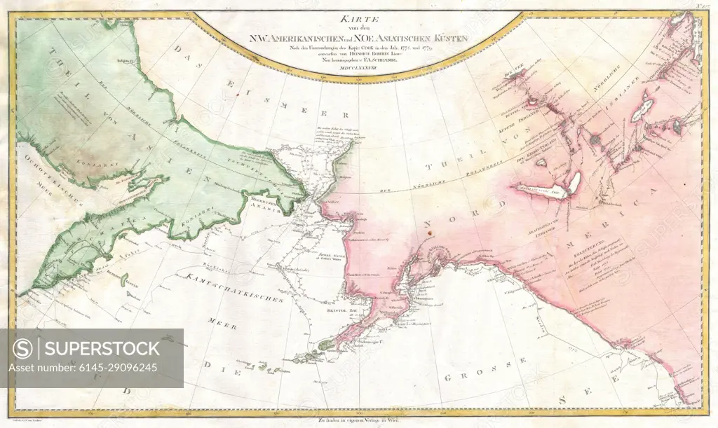
SuperStock offers millions of photos, videos, and stock assets to creatives around the world. This image of Explore Historical Cartography: 18th Century Map of Russia and North America - Uncover the Geographic Boundaries of 1767. by Piemags/PL Photography Limited is available for licensing today.
Looking for a license?
Click here, and we'll help you find it! Questions? Just ask!
Click here, and we'll help you find it! Questions? Just ask!
DETAILS
Image Number: 6145-29096245Royalty FreeCredit Line:Piemags/PL Photography Limited/SuperStockCollection: