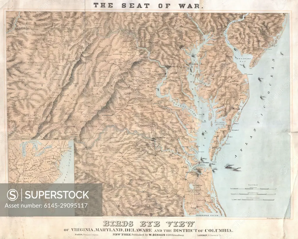
1861 Schaus Bird's Eye View Map of Virginia, Delaware, and North Carolina (Seat of War)
SuperStock offers millions of photos, videos, and stock assets to creatives around the world. This image of Explore Historical Geographies: Antique Map Illustrating Virginia, Maryland, Delaware, and D.C. during the Civil War Era by Piemags/PL Photography Limited is available for licensing today.
Looking for a license?
Click here, and we'll help you find it! Questions? Just ask!
Click here, and we'll help you find it! Questions? Just ask!
DETAILS
Image Number: 6145-29095117Royalty FreeCredit Line:Piemags/PL Photography Limited/SuperStockCollection: