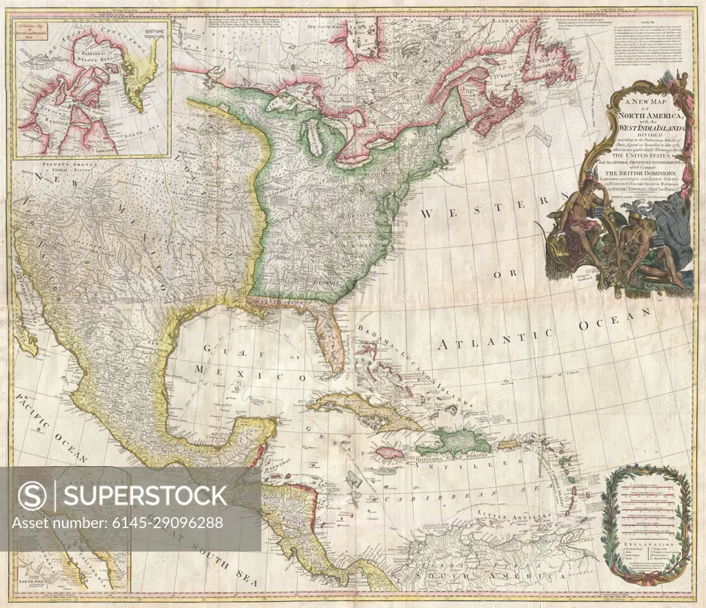
1794 Pownell Wall Map of North America and the West Indies
SuperStock offers millions of photos, videos, and stock assets to creatives around the world. This image of Explore the Historical Map of North America and the West Indies: 18th Century Geography and Cartography by Piemags/PL Photography Limited is available for licensing today.
DETAILS
Image Number: 6145-29096288Royalty FreeCredit Line:Piemags/PL Photography Limited/SuperStockCollection: