1683 Mortier Map of North America, the West Indies, and the Atlantic Ocean
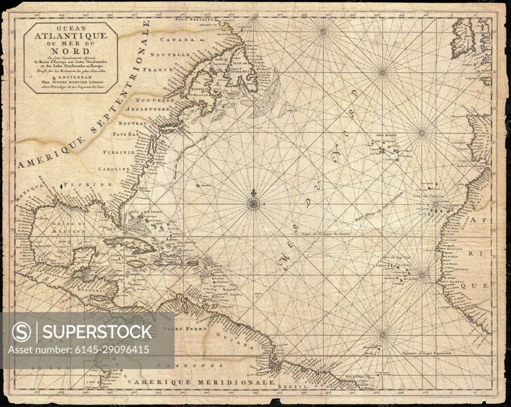
SuperStock offers millions of photos, videos, and stock assets to creatives around the world. This image of Explore Historic Navigation: Vintage Map of the North Atlantic Ocean Featuring America and Europe by Piemags/PL Photography Limited is available for licensing today.
Looking for a license?
Click here, and we'll help you find it! Questions? Just ask!
Click here, and we'll help you find it! Questions? Just ask!
DETAILS
Image Number: 6145-29096415Royalty FreeCredit Line:Piemags/PL Photography Limited/SuperStockCollection: