1864 Mitchell Map of Washington, Oregon and Idaho
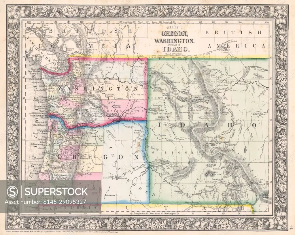
SuperStock offers millions of photos, videos, and stock assets to creatives around the world. This image of Explore Historical Maps: Detailed 1864 Map of Oregon, Washington, & Idaho Territories Featuring Intricate Borders and Geographical Insights by Piemags/PL Photography Limited is available for licensing today.
DETAILS
Image Number: 6145-29095327Royalty FreeCredit Line:Piemags/PL Photography Limited/SuperStockCollection: