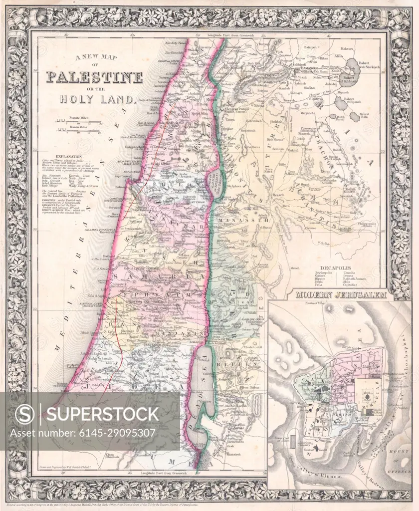
1864 Mitchell Map of Palestine, Israel or the Holy Land
SuperStock offers millions of photos, videos, and stock assets to creatives around the world. This image of Explore Historic Cartography: Antique Map of Palestine and the Holy Land with Detailed 19th Century Geographic Features. by Piemags/PL Photography Limited is available for licensing today.
Looking for a license?
Click here, and we'll help you find it! Questions? Just ask!
Click here, and we'll help you find it! Questions? Just ask!
DETAILS
Image Number: 6145-29095307Royalty FreeCredit Line:Piemags/PL Photography Limited/SuperStockCollection: