1866 Mitchell Map of Colorado, Nebraska, and Kansas
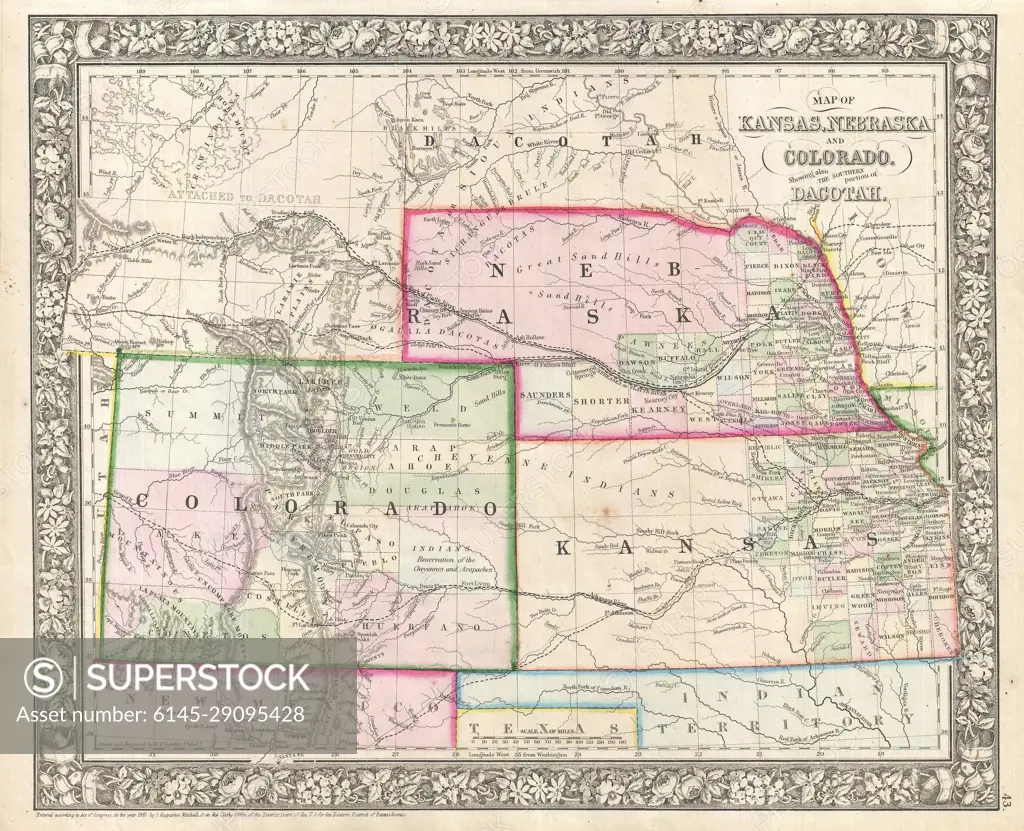
SuperStock offers millions of photos, videos, and stock assets to creatives around the world. This image of Explore the Historic Cartography of the Midwest: Vintage 1866 Map Featuring Nebraska, Kansas, Colorado, and Dakota Territories by Piemags/PL Photography Limited is available for licensing today.
Looking for a license?
Click here, and we'll help you find it! Questions? Just ask!
Click here, and we'll help you find it! Questions? Just ask!
DETAILS
Image Number: 6145-29095428Royalty FreeCredit Line:Piemags/PL Photography Limited/SuperStockCollection: