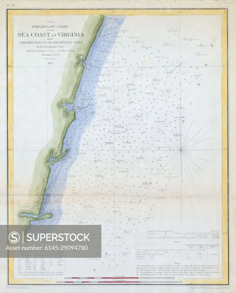
1853 U.S.C.S. Map of the Virginia Coast ( Gargathy to Machipongo )
SuperStock offers millions of photos, videos, and stock assets to creatives around the world. This image of Explore the Historic 1857 Sea Coast of Virginia Map: Navigational Chart by U.S. Coast Survey by Piemags/PL Photography Limited is available for licensing today.
DETAILS
Image Number: 6145-29094780Royalty FreeCredit Line:Piemags/PL Photography Limited/SuperStockCollection: