1858 U.S.C.S. Map or Chart of Martha's Vineyard or Muskeget Channel
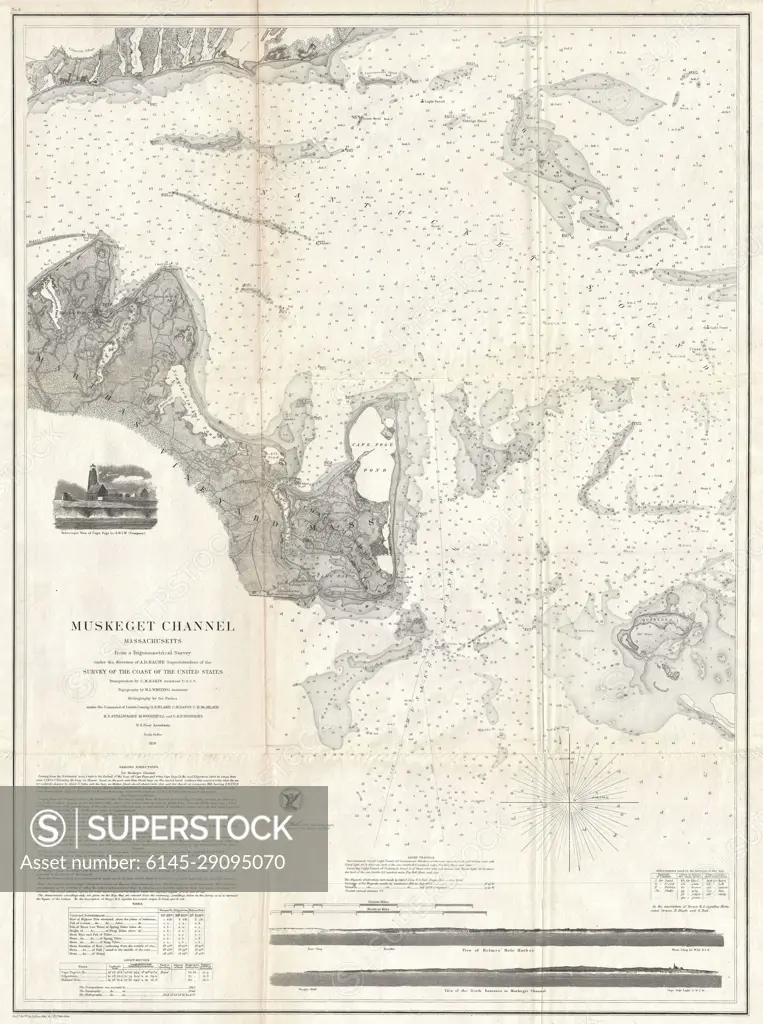
SuperStock offers millions of photos, videos, and stock assets to creatives around the world. This image of Historical Nautical Map of Muskegit Channel: Navigational Chart of 1838 by Piemags/PL Photography Limited is available for licensing today.
Looking for a license?
Click here, and we'll help you find it! Questions? Just ask!
Click here, and we'll help you find it! Questions? Just ask!
DETAILS
Image Number: 6145-29095070Royalty FreeCredit Line:Piemags/PL Photography Limited/SuperStockCollection: