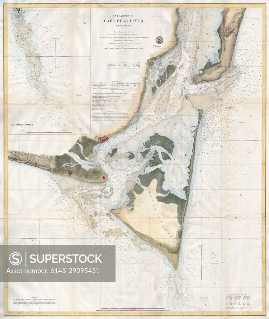
1866 U.S.C.S. Map of Cape Fear and Vicinity, North Carolina
SuperStock offers millions of photos, videos, and stock assets to creatives around the world. This image of Explore Historic Cape Fear River: Navigational Chart from 1867 - A Glimpse into Maritime History by Piemags/PL Photography Limited is available for licensing today.
Looking for a license?
Click here, and we'll help you find it! Questions? Just ask!
Click here, and we'll help you find it! Questions? Just ask!
DETAILS
Image Number: 6145-29095451Royalty FreeCredit Line:Piemags/PL Photography Limited/SuperStockCollection: