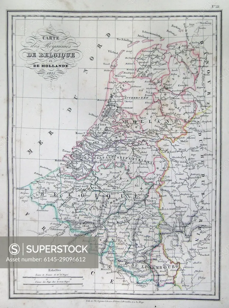
1835 Malte-Brun Map of Belgium and Holland or the Netherlands
SuperStock offers millions of photos, videos, and stock assets to creatives around the world. This image of Explore Historical Belgium and Holland with This Vintage Map – Discover Geographical Details and Regional Boundaries by Piemags/PL Photography Limited is available for licensing today.
Looking for a license?
Click here, and we'll help you find it! Questions? Just ask!
Click here, and we'll help you find it! Questions? Just ask!
DETAILS
Image Number: 6145-29096612Royalty FreeCredit Line:Piemags/PL Photography Limited/SuperStockCollection: