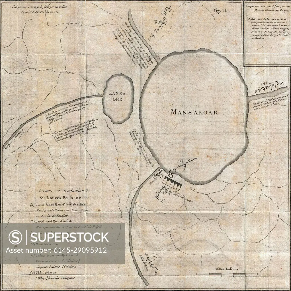
Lake Manasarovar, Tibet map in French and Persian detail from 1784 Tiefenthaler Map of the Ganges and Ghaghara Rivers, India (cropped)
SuperStock offers millions of photos, videos, and stock assets to creatives around the world. This image of Explore Historical Cartography: Ancient Map Depicting Mansarovar Lake Region
by Piemags/PL Photography Limited is available for licensing today.
Looking for a license?
Click here, and we'll help you find it! Questions? Just ask!
Click here, and we'll help you find it! Questions? Just ask!
DETAILS
Image Number: 6145-29095912Royalty FreeCredit Line:Piemags/PL Photography Limited/SuperStockCollection: