1856 Kiepert Map of Lebanon
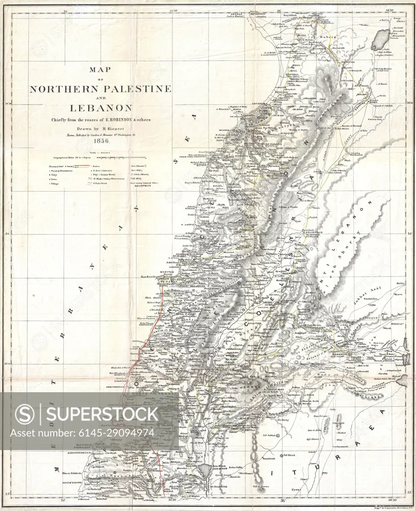
SuperStock offers millions of photos, videos, and stock assets to creatives around the world. This image of Explore Historical Geography with this 1859 Map of Northern Palestine and Lebanon: A Glimpse into 19th Century Cartography by Piemags/PL Photography Limited is available for licensing today.
Looking for a license?
Click here, and we'll help you find it! Questions? Just ask!
Click here, and we'll help you find it! Questions? Just ask!
DETAILS
Image Number: 6145-29094974Royalty FreeCredit Line:Piemags/PL Photography Limited/SuperStockCollection: