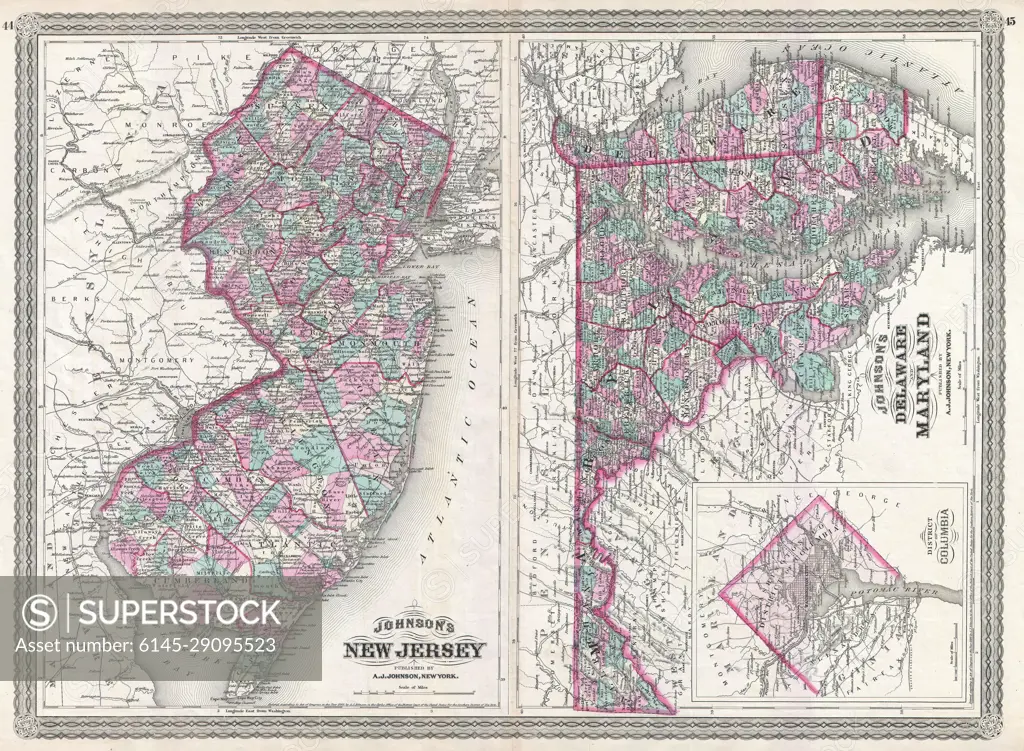
1870 Johnson Map of New Jersey, Maryland and Delaware
SuperStock offers millions of photos, videos, and stock assets to creatives around the world. This image of Explore Historical Cartography: Vintage 1860 Map of New Jersey and Surrounding Areas – Uncover the Detailed Geography of the Past. by Piemags/PL Photography Limited is available for licensing today.
Looking for a license?
Click here, and we'll help you find it! Questions? Just ask!
Click here, and we'll help you find it! Questions? Just ask!
DETAILS
Image Number: 6145-29095523Royalty FreeCredit Line:Piemags/PL Photography Limited/SuperStockCollection: