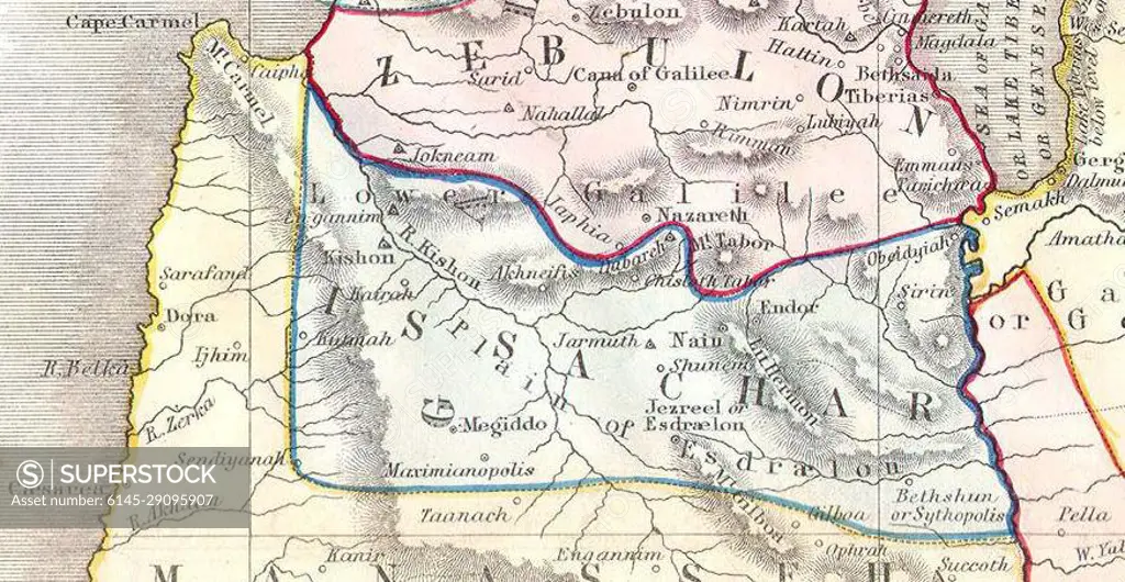
Issachar. 1852 Philip Map of Palestine - Israel - Holy Land
SuperStock offers millions of photos, videos, and stock assets to creatives around the world. This image of Explore Ancient History with This Detailed 19th Century Map of the Holy Land by Piemags/PL Photography Limited is available for licensing today.
Looking for a license?
Click here, and we'll help you find it! Questions? Just ask!
Click here, and we'll help you find it! Questions? Just ask!
DETAILS
Image Number: 6145-29095907Royalty FreeCredit Line:Piemags/PL Photography Limited/SuperStockCollection: