1730 Homann Map of the Upper Rhine ( Frankfurt, Cassel, Coblentz, Darmstadt )
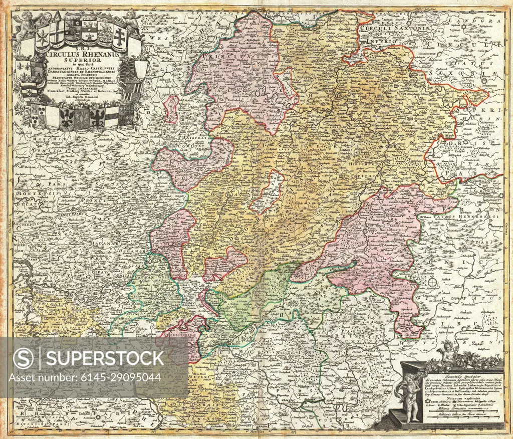
SuperStock offers millions of photos, videos, and stock assets to creatives around the world. This image of Explore Historical Cartography: Detailed 18th Century Map of Central Europe Featuring Intricate Borders and Landmarks by Piemags/PL Photography Limited is available for licensing today.
Looking for a license?
Click here, and we'll help you find it! Questions? Just ask!
Click here, and we'll help you find it! Questions? Just ask!
DETAILS
Image Number: 6145-29095044Royalty FreeCredit Line:Piemags/PL Photography Limited/SuperStockCollection: