1768 Holland - Jeffreys Map of New York and New Jersey (First Edition)

1768 Holland - Jeffreys Map of New York and New Jersey (First Edition)
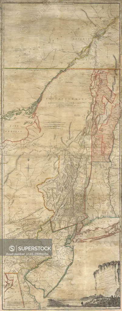
SuperStock offers millions of photos, videos, and stock assets to creatives around the world. This image of Explore Historic Cartography: Vintage Map of Northern New York and Southern Canada Regions by Piemags/PL Photography Limited is available for licensing today.
Royalty Free License
Royalty-Free Standard Commercial licenses are granted for worldwide, non-exclusive and perpetual use, unless specifically noted otherwise. All Royalty-Free transactions are final. The Royalty-Free Standard Commercial license has no limitations and covers up to 15 users.
  • $50.00 Low197 X 500
  • $150.00 Med295 X 750
  • $250.00 High826 X 2100
  • $350.00 Super High2752 X 7000
  • Download your images from the download tab on this page after purchase.
  • Up to 5 downloads
  • Can be used for a year after purchase.
$1,225.00
RF High / Super Res 5 Pack
Save $525.00
$245.00
per download
Order a Framed Print
DETAILS
Image Number:  6145-29096034Royalty FreeCredit Line:Piemags/PL Photography Limited/SuperStockCollection:Contributor:Model Release:NoProperty Release:NoResolution:2752×7000
|
|
|
|
|
|
|