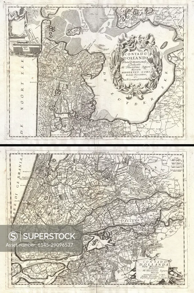
1690 Coronelli Map of Holland or the Netherlands (2 sheets)
SuperStock offers millions of photos, videos, and stock assets to creatives around the world. This image of Explore Historical Maps of Holland: A Glimpse into 18th Century Cartography by Piemags/PL Photography Limited is available for licensing today.
Looking for a license?
Click here, and we'll help you find it! Questions? Just ask!
Click here, and we'll help you find it! Questions? Just ask!
DETAILS
Image Number: 6145-29096537Royalty FreeCredit Line:Piemags/PL Photography Limited/SuperStockCollection: