1855 Colton Map or Comparative Chart of the World's Islands and Lakes
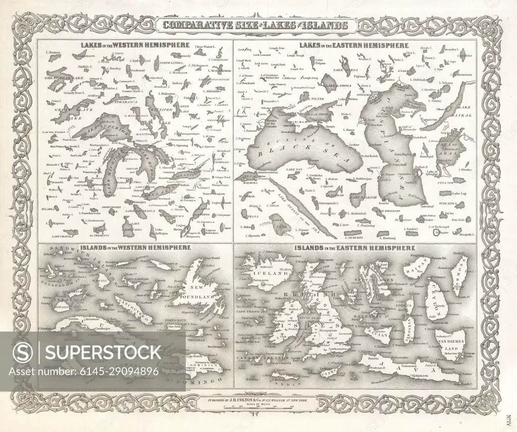
SuperStock offers millions of photos, videos, and stock assets to creatives around the world. This image of Explore Historical Cartography: A Detailed 19th-Century Comparative Map of Lakes and Islands in the Western and Eastern Hemispheres by Piemags/PL Photography Limited is available for licensing today.
Looking for a license?
Click here, and we'll help you find it! Questions? Just ask!
Click here, and we'll help you find it! Questions? Just ask!
DETAILS
Image Number: 6145-29094896Royalty FreeCredit Line:Piemags/PL Photography Limited/SuperStockCollection: