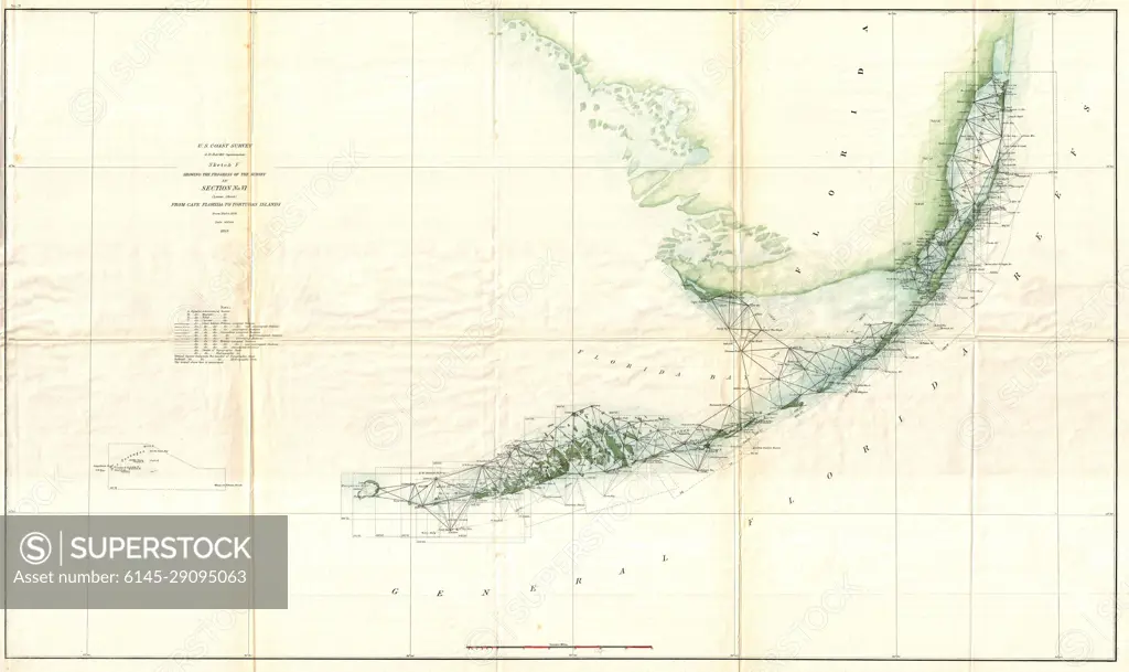
1859 U.S. Coast Survey Triangulation Map of the Florida Keys
SuperStock offers millions of photos, videos, and stock assets to creatives around the world. This image of Explore the Historic 1826 Map of the Kuril Islands and Kamchatka Peninsula: A Glimpse into Early Russian Exploration and Cartography. by Piemags/PL Photography Limited is available for licensing today.
Looking for a license?
Click here, and we'll help you find it! Questions? Just ask!
Click here, and we'll help you find it! Questions? Just ask!
DETAILS
Image Number: 6145-29095063Royalty FreeCredit Line:Piemags/PL Photography Limited/SuperStockCollection: