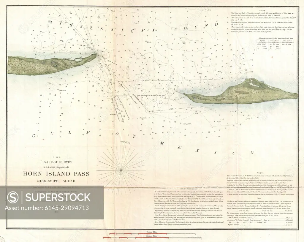
1852 U.S. Coast Survey Map of Horn Island Pass, Mississippi Sound
SuperStock offers millions of photos, videos, and stock assets to creatives around the world. This image of Historical Map of Horn Island Pass, Mississippi: Navigational Chart from the Gulf of Mexico by Piemags/PL Photography Limited is available for licensing today.
Looking for a license?
Click here, and we'll help you find it! Questions? Just ask!
Click here, and we'll help you find it! Questions? Just ask!
DETAILS
Image Number: 6145-29094713Royalty FreeCredit Line:Piemags/PL Photography Limited/SuperStockCollection: