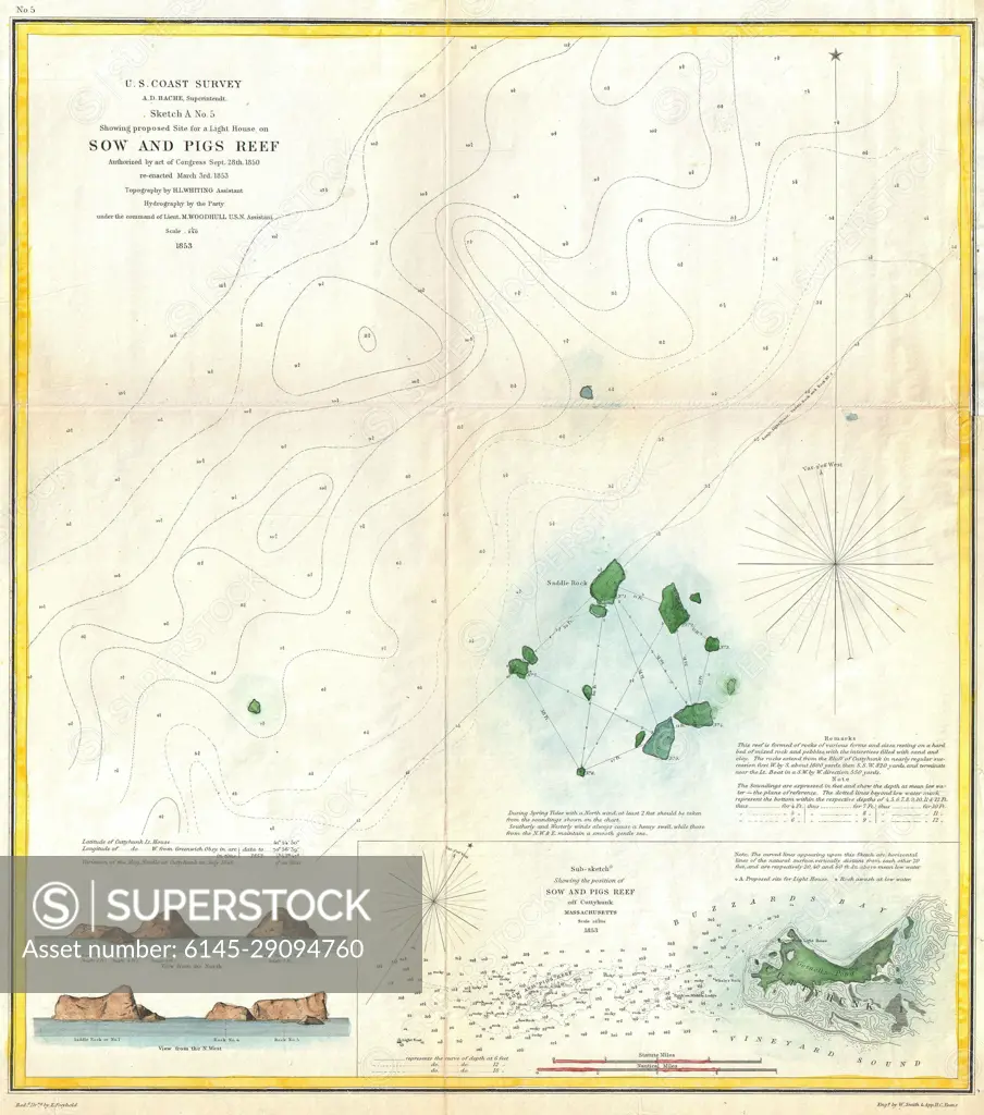
1853 U.S. Coast Survey Map or Chart of Sow and Pigs Reef off Marthas Vineyard, Massachussetts
SuperStock offers millions of photos, videos, and stock assets to creatives around the world. This image of Explore the Historic Sow and Pigs Reef Map - Detailed Nautical Chart from U.S. Coast Surveys, 1851 by Piemags/PL Photography Limited is available for licensing today.
Looking for a license?
Click here, and we'll help you find it! Questions? Just ask!
Click here, and we'll help you find it! Questions? Just ask!
DETAILS
Image Number: 6145-29094760Royalty FreeCredit Line:Piemags/PL Photography Limited/SuperStockCollection: