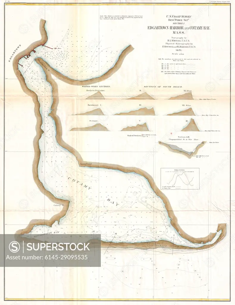
1871 U.S. Coast Survey Map or Chart of Edgartown Harbor, Martha's Vineyard, Massachusetts
SuperStock offers millions of photos, videos, and stock assets to creatives around the world. This image of Explore the Historic Map of Hyannis Harbor, Cape Cod - Nautical Chart from 1857 by Piemags/PL Photography Limited is available for licensing today.
DETAILS
Image Number: 6145-29095535Royalty FreeCredit Line:Piemags/PL Photography Limited/SuperStockCollection: