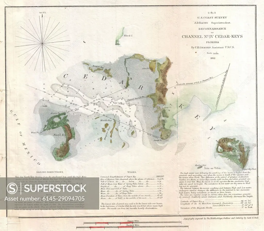
1852 U.S. Coast Survey Map of Cedar Key, Florida
SuperStock offers millions of photos, videos, and stock assets to creatives around the world. This image of Explore the Historic 1852 Nautical Map of Cedar Keys, Florida: Navigation and Marine Details by Piemags/PL Photography Limited is available for licensing today.
Looking for a license?
Click here, and we'll help you find it! Questions? Just ask!
Click here, and we'll help you find it! Questions? Just ask!
DETAILS
Image Number: 6145-29094705Royalty FreeCredit Line:Piemags/PL Photography Limited/SuperStockCollection: