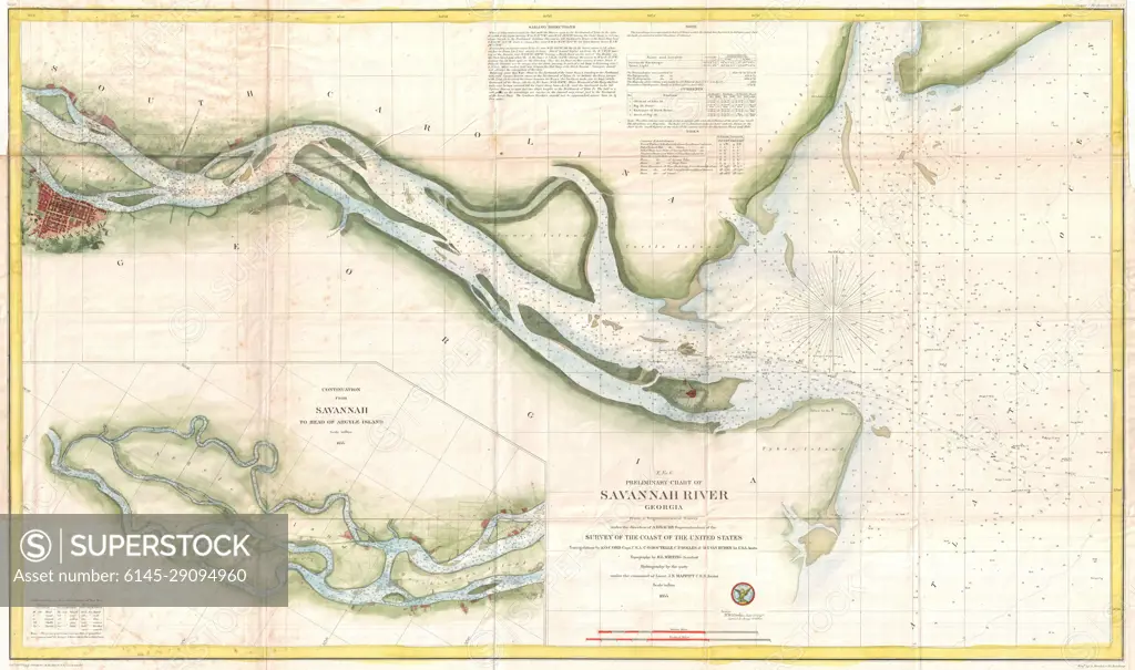
1855 U.S. Coast Survey Chart or Map of the Savanna River, Georgia
SuperStock offers millions of photos, videos, and stock assets to creatives around the world. This image of Explore the Historic Savannah River: Antique Nautical Chart Reveals 19th-Century Maritime Routes by Piemags/PL Photography Limited is available for licensing today.
Looking for a license?
Click here, and we'll help you find it! Questions? Just ask!
Click here, and we'll help you find it! Questions? Just ask!
DETAILS
Image Number: 6145-29094960Royalty FreeCredit Line:Piemags/PL Photography Limited/SuperStockCollection: