1837 S.D.U.K. City Map or Plan of Frankfort, Germany
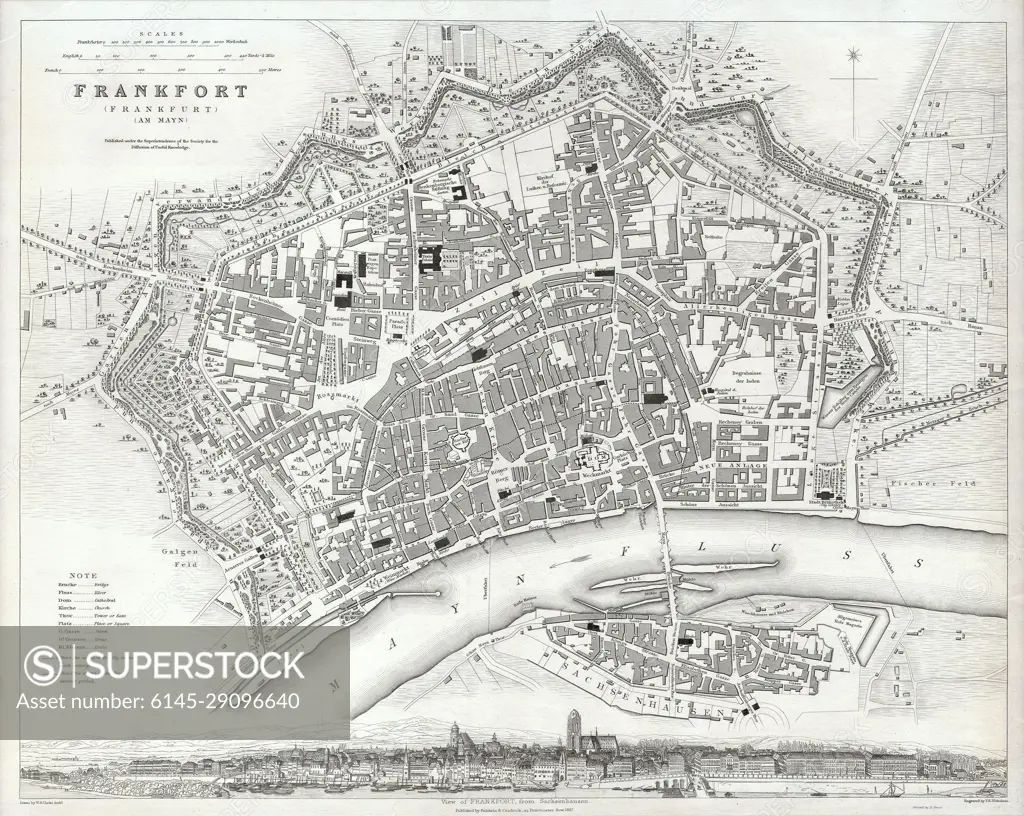
SuperStock offers millions of photos, videos, and stock assets to creatives around the world. This image of Explore Historical Frankfort: Detailed Vintage Map Showcasing 19th Century Urban Layout and Architectural Landmarks. by Piemags/PL Photography Limited is available for licensing today.
Looking for a license?
Click here, and we'll help you find it! Questions? Just ask!
Click here, and we'll help you find it! Questions? Just ask!
DETAILS
Image Number: 6145-29096640Royalty FreeCredit Line:Piemags/PL Photography Limited/SuperStockCollection: