1806 Cary Map of New England, New York, Pennsylvania, New Jersey and Virginia
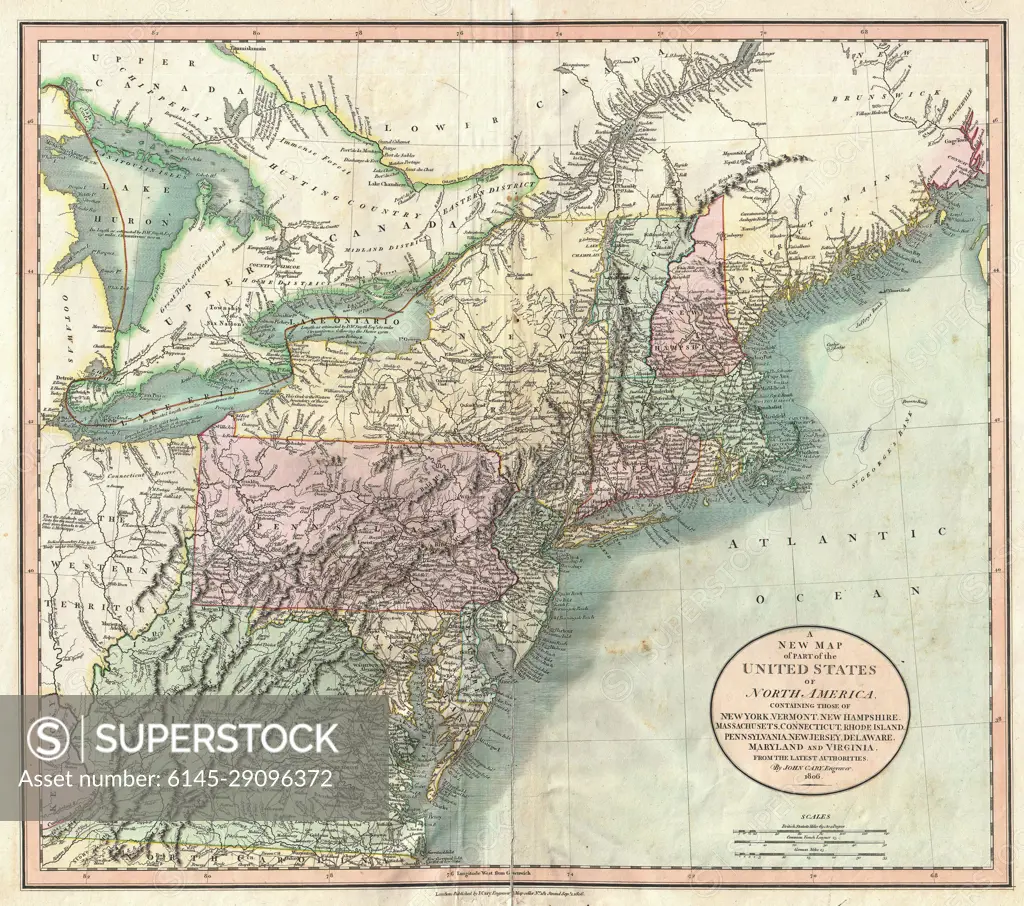
SuperStock offers millions of photos, videos, and stock assets to creatives around the world. This image of Antique Map of the Northeastern United States: Explore the Historic Geography of Early America with Detailed 19th Century Cartography. by Piemags/PL Photography Limited is available for licensing today.
Looking for a license?
Click here, and we'll help you find it! Questions? Just ask!
Click here, and we'll help you find it! Questions? Just ask!
DETAILS
Image Number: 6145-29096372Royalty FreeCredit Line:Piemags/PL Photography Limited/SuperStockCollection: