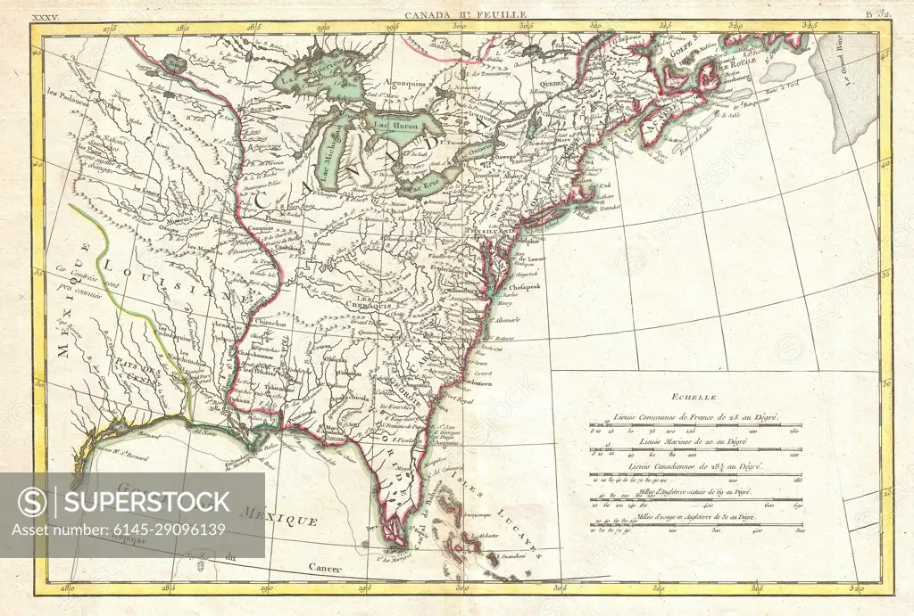
1776 Bonne Map of Louisiana and the British Colonies in North America
SuperStock offers millions of photos, videos, and stock assets to creatives around the world. This image of Explore the 1812 Historic Map of Southeastern United States: A Glimpse into Early American Geography by Piemags/PL Photography Limited is available for licensing today.
Looking for a license?
Click here, and we'll help you find it! Questions? Just ask!
Click here, and we'll help you find it! Questions? Just ask!
DETAILS
Image Number: 6145-29096139Royalty FreeCredit Line:Piemags/PL Photography Limited/SuperStockCollection: