1635 Blaeu Map of New England and New York (1st depiction of Manhattan as an Island)
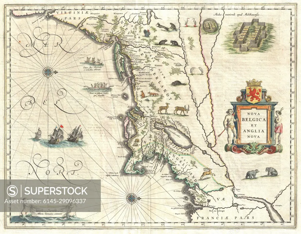
SuperStock offers millions of photos, videos, and stock assets to creatives around the world. This image of Explore Historical Cartography: Vintage Map of New Belgium and New England - Discover Antique Nautical Details and Colonial Regions. by Piemags/PL Photography Limited is available for licensing today.
DETAILS
Image Number: 6145-29096337Royalty FreeCredit Line:Piemags/PL Photography Limited/SuperStockCollection: