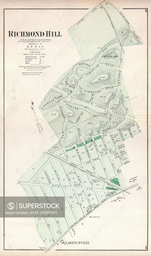
1873 Beers Map of Richmond Hill, Queens, New York City
SuperStock offers millions of photos, videos, and stock assets to creatives around the world. This image of Explore Historic Richmond Hill: A Vintage Map Showcasing Land Divisions and Features – Perfect for History Enthusiasts and Cartography Lovers. by Piemags/PL Photography Limited is available for licensing today.
Looking for a license?
Click here, and we'll help you find it! Questions? Just ask!
Click here, and we'll help you find it! Questions? Just ask!
DETAILS
Image Number: 6145-29095597Royalty FreeCredit Line:Piemags/PL Photography Limited/SuperStockCollection: