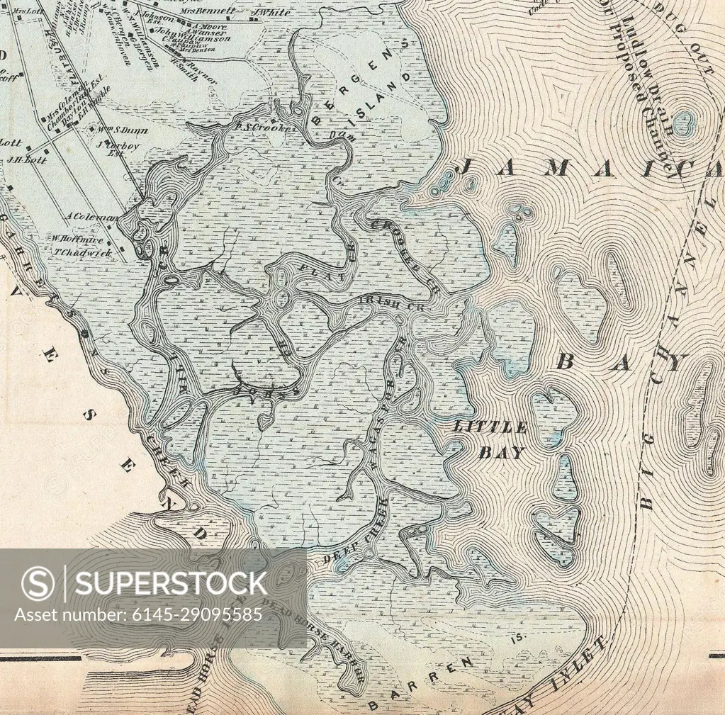
1873 Beers Map of New York City (Jamaica Bay, creeks and marshland)
SuperStock offers millions of photos, videos, and stock assets to creatives around the world. This image of Explore Historical Cartography: Detailed Vintage Map of Jamaica Bay and Surrounding Areas by Piemags/PL Photography Limited is available for licensing today.
Looking for a license?
Click here, and we'll help you find it! Questions? Just ask!
Click here, and we'll help you find it! Questions? Just ask!
DETAILS
Image Number: 6145-29095585Royalty FreeCredit Line:Piemags/PL Photography Limited/SuperStockCollection: