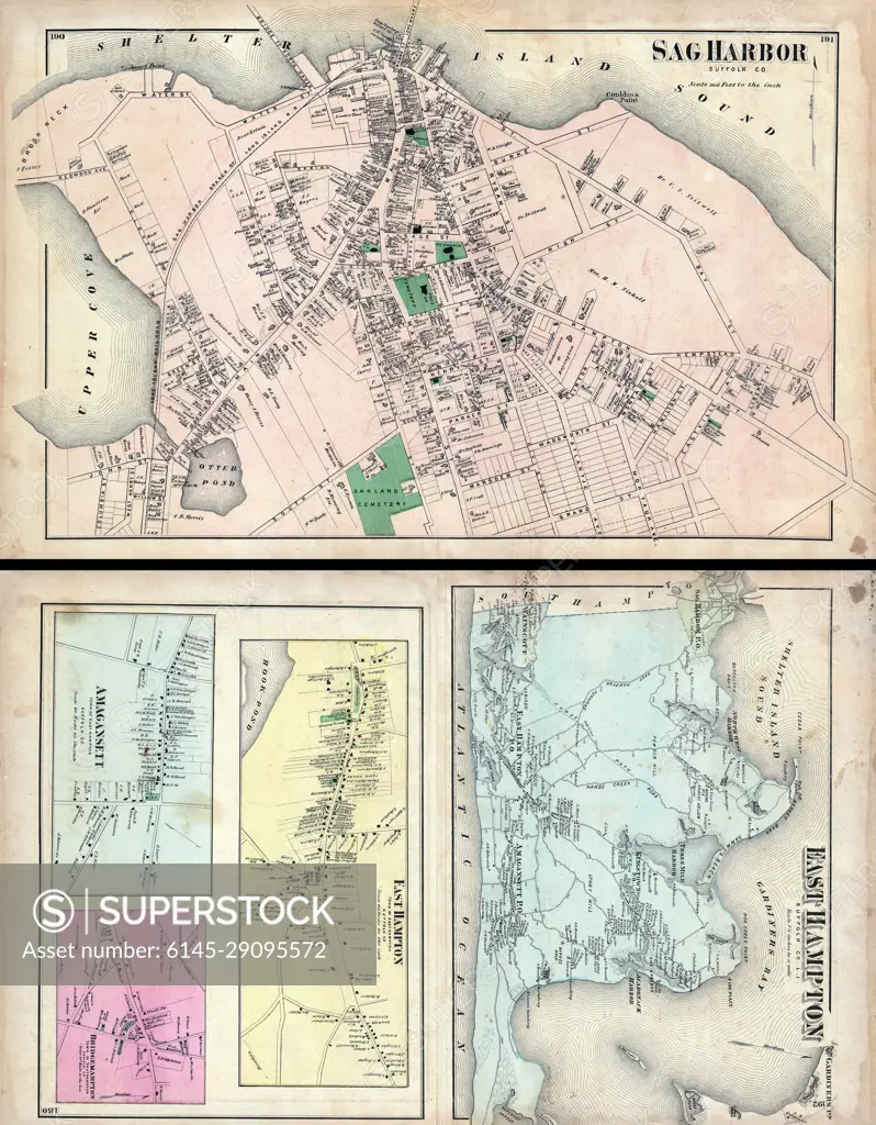
1873 Beers Map of East Hampton and Sag Harbor, Long Island, New York
SuperStock offers millions of photos, videos, and stock assets to creatives around the world. This image of Explore Historical Maps of Sag Harbor and East Hampton: A Glimpse into 19th Century New York Geography. by Piemags/PL Photography Limited is available for licensing today.
Looking for a license?
Click here, and we'll help you find it! Questions? Just ask!
Click here, and we'll help you find it! Questions? Just ask!
DETAILS
Image Number: 6145-29095572Royalty FreeCredit Line:Piemags/PL Photography Limited/SuperStockCollection: